Address
Leibniz University of Hannover
SFB 1463 Integrated Design and Operation Methodology for Offshore Megastructures
at the Institute of Structural and Analysis (ISD)
Appelstraße 9A 30167 Hanover


 ©
FBG / C. Bierwagen
Management
30167 Hannover
Arrival
Public transport
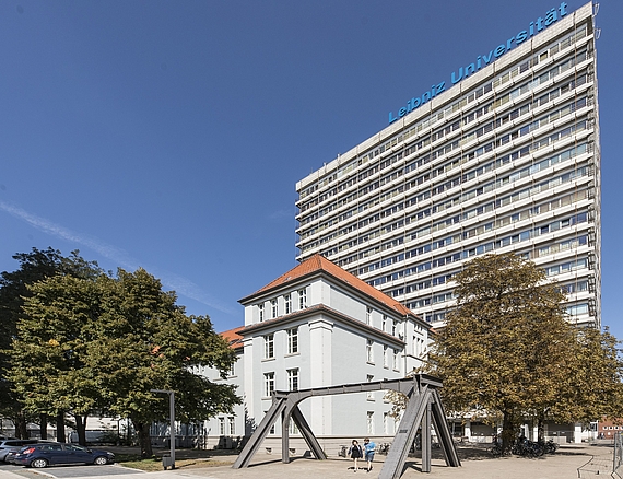
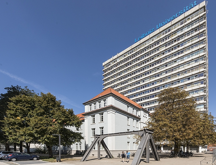
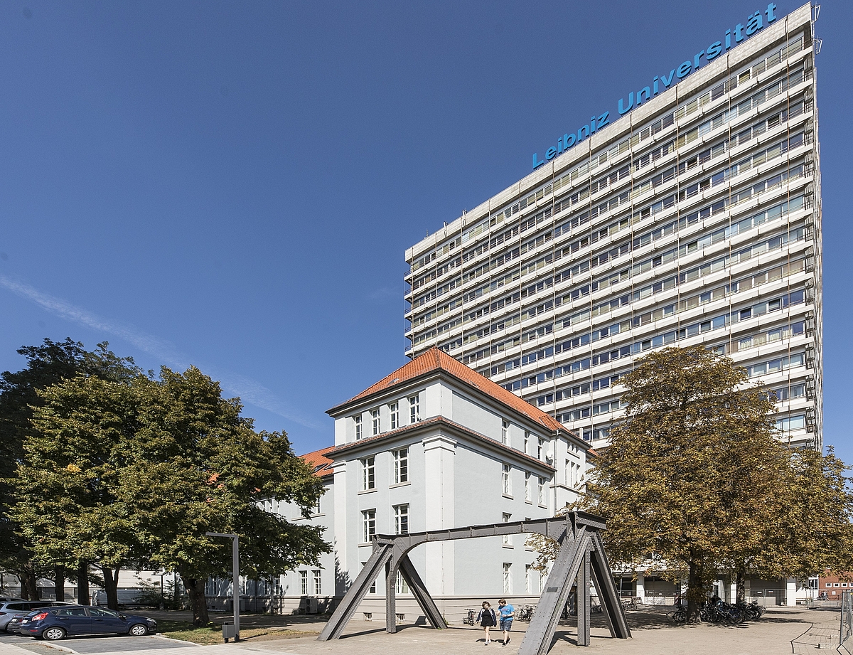
From Hannover main station walk to Kröpcke (approx.500m). From there, take tram line 4 , direction Garbsen, or 5, direction Stöcken to the stop Schneiderberg / Wilhelm-Busch-Museum. Walk about 250m along Nienburger Straße in the direction of the continuing streetcar (see the city map excerpt below). Then turn right into Kniggestraße. When you reach Callinstraße, you can already see the university skyscraper (see photo below). The institute is located on the 4th floor of the Uni-Hochhaus. Timetables of the Greater Hannover Transport (GVH)
CAR
Leave the freeway A2 at the exit Herrenhausen and drive from there in the direction of the city center. Turn left at the Schwanenburgkreuzung and you will reach Königsworther Platz via Bremer Damm. There you turn sharp left into Nienburger Strasse. You pass the main building of the university and then turn right into Schneiderberg. After 600m turn left into the parking lot of the university and you will already see the university skyscraper (see photo below), where the institute is located on the 4th floor. For further orientation, a section of the city map is given at the bottom of this page.
![[Translate to English:] Straßenkarte](https://www.sfb1463.uni-hannover.de/fileadmin/isd/bilder/wegweiser/Standort.png)
![[Translate to English:] Straßenkarte](https://www.sfb1463.uni-hannover.de/fileadmin/isd/bilder/wegweiser/Standort.png)
![[Translate to English:] Straßenkarte](https://www.sfb1463.uni-hannover.de/fileadmin/isd/bilder/wegweiser/Standort.png) ©
https://www.ikg.uni-hannover.de/de/service/standortkarte/#c17712
©
https://www.ikg.uni-hannover.de/de/service/standortkarte/#c17712


